Hiking
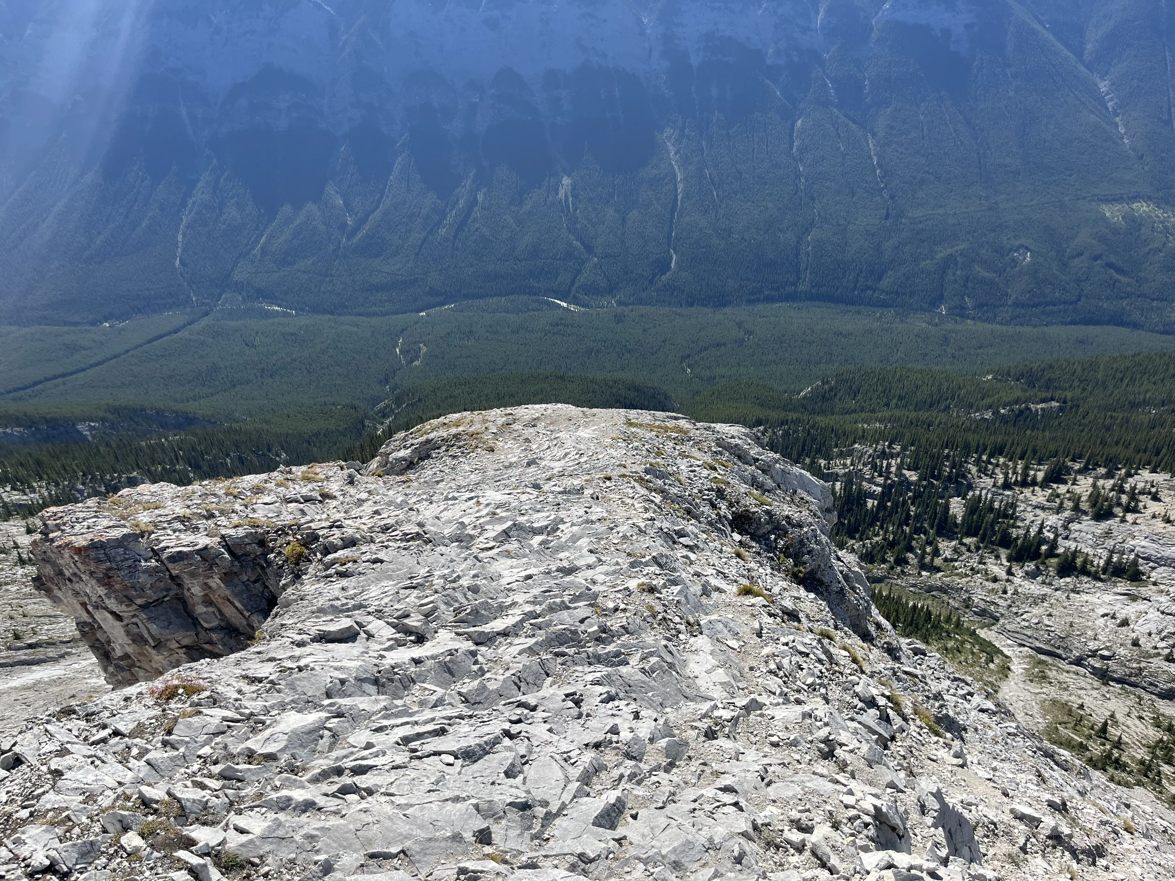
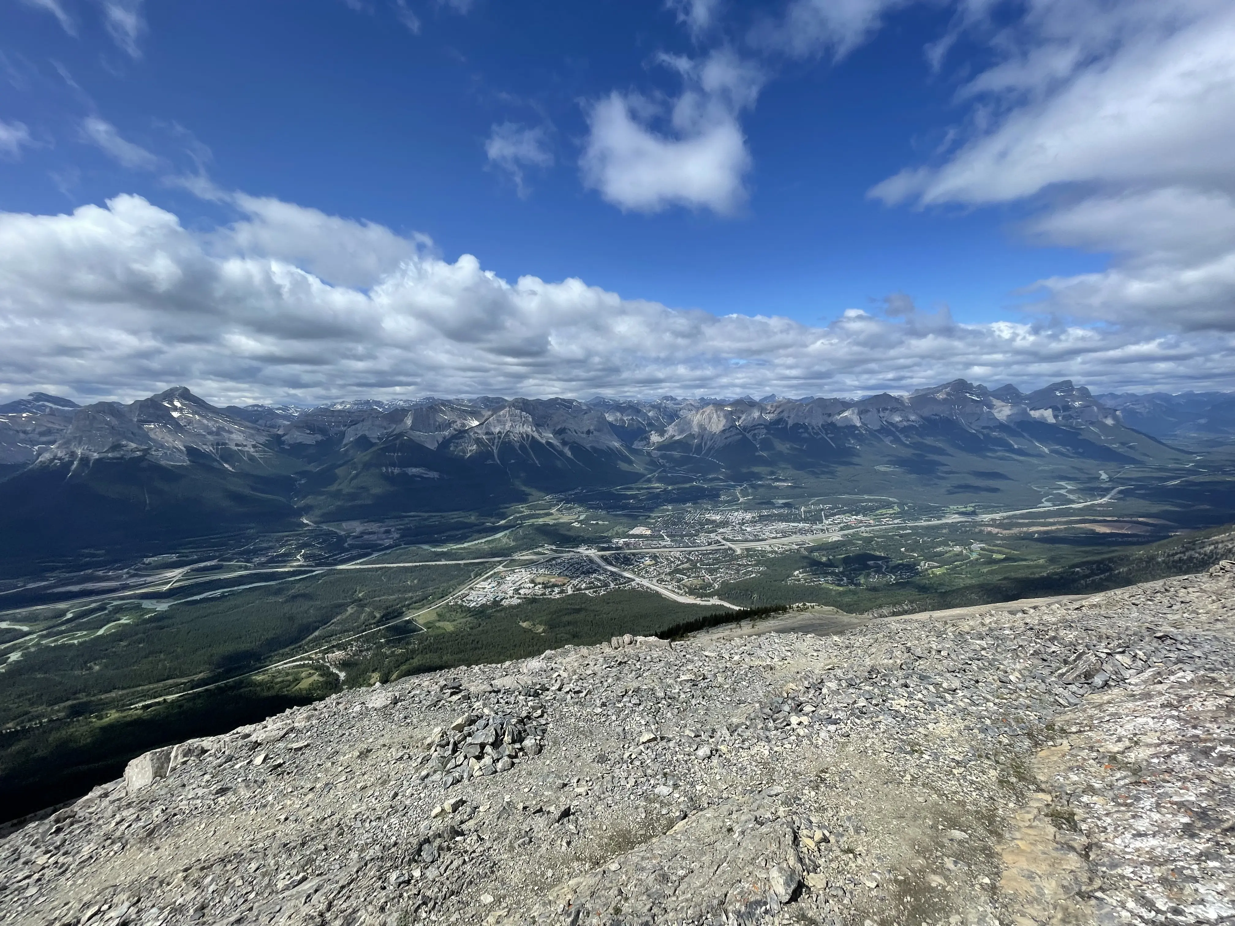
Grotto Mountain
- Length: 7.4km
- Peak Elevation: 2706m
- Elevation Gain: 1463m
June 14th, 2025: Grotto Mountain is one of the higher peaks in the Canmore area but still a fairly straightforward climb. We started from the Alpine Club of Canada and climbed the “easy route” up the left side of the mountain.
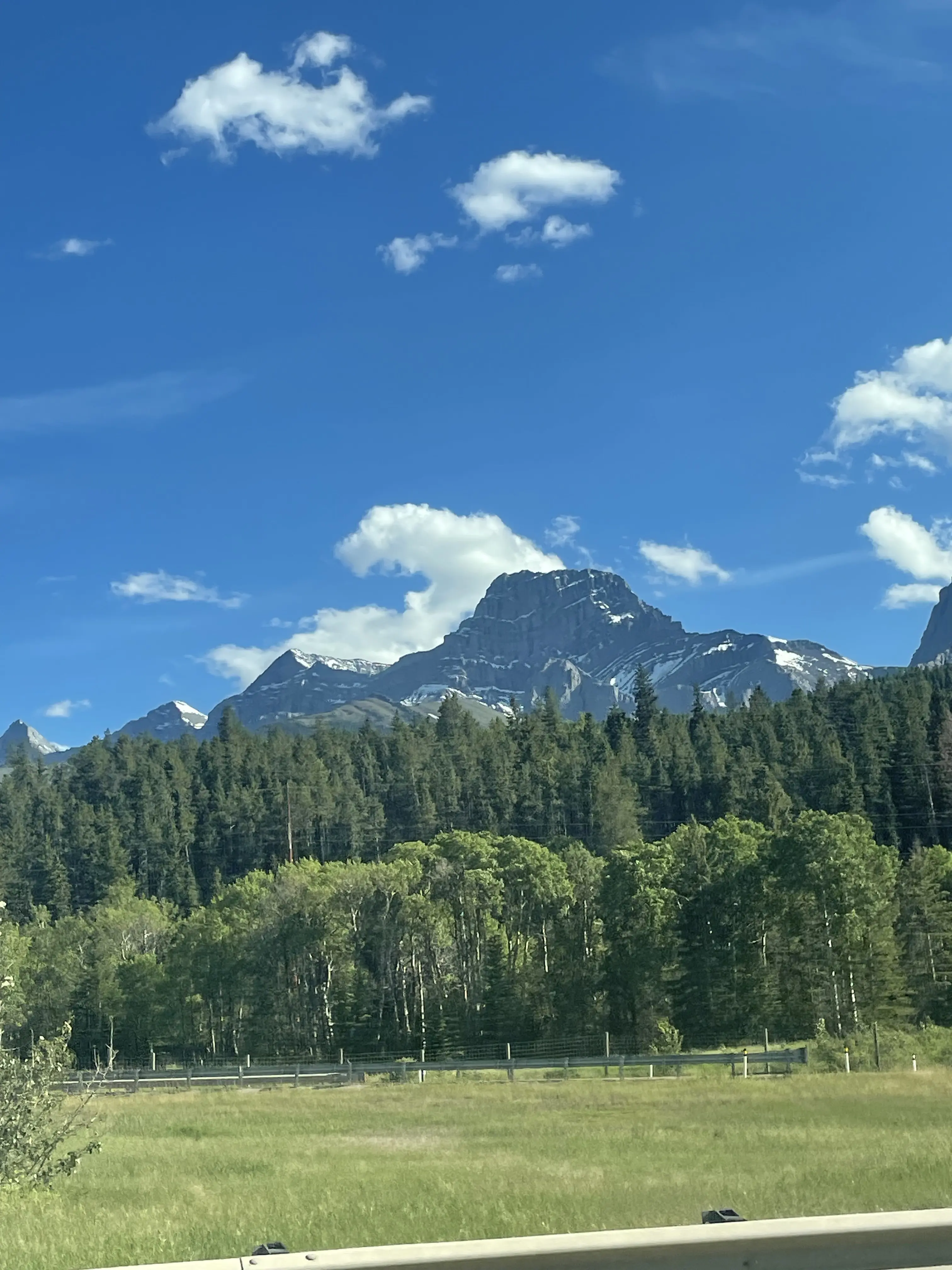
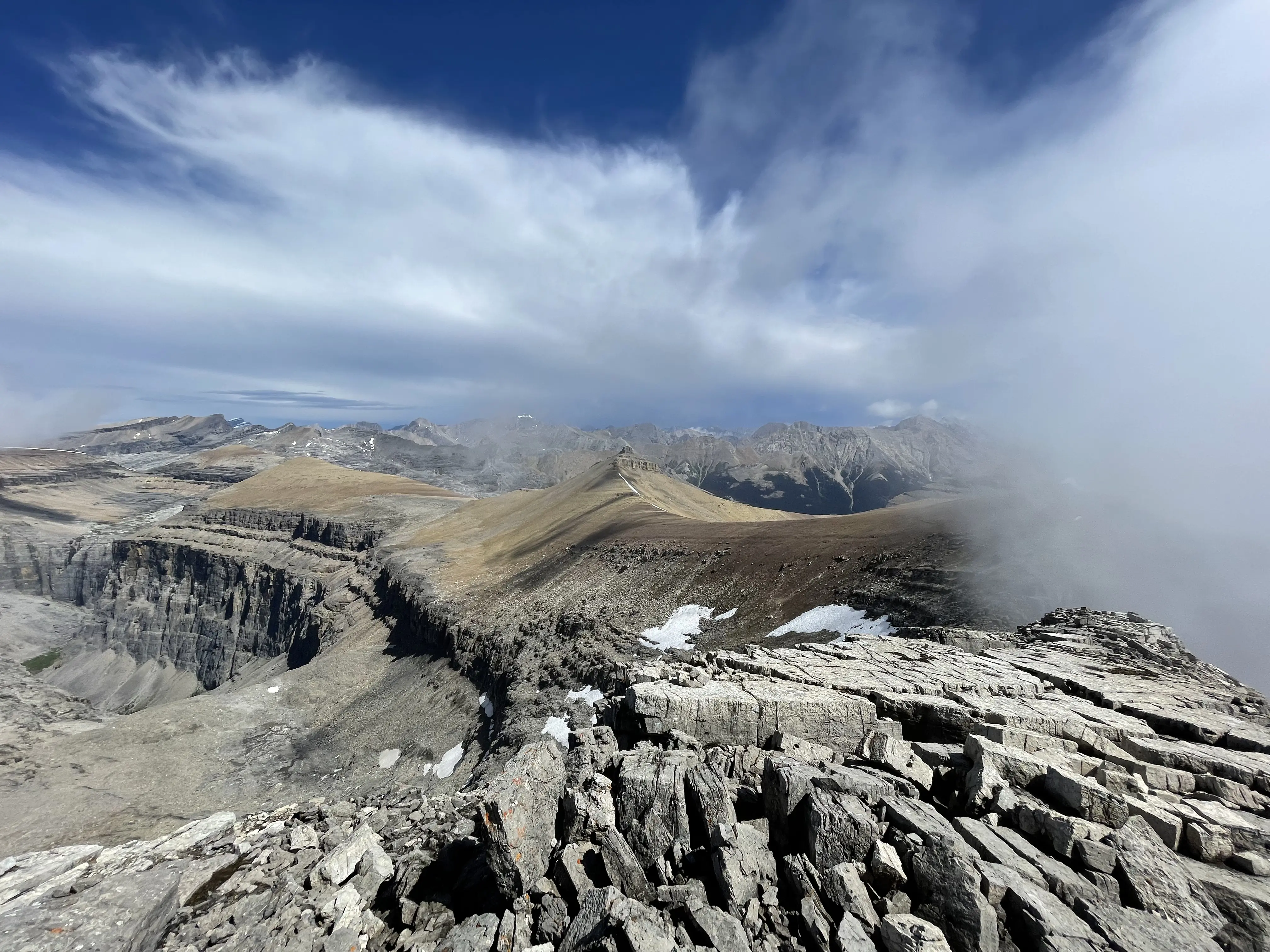
Mount Lougheed
- Length: 12.2km
- Peak Elevation: 3107m
- Elevation Gain: 1440m
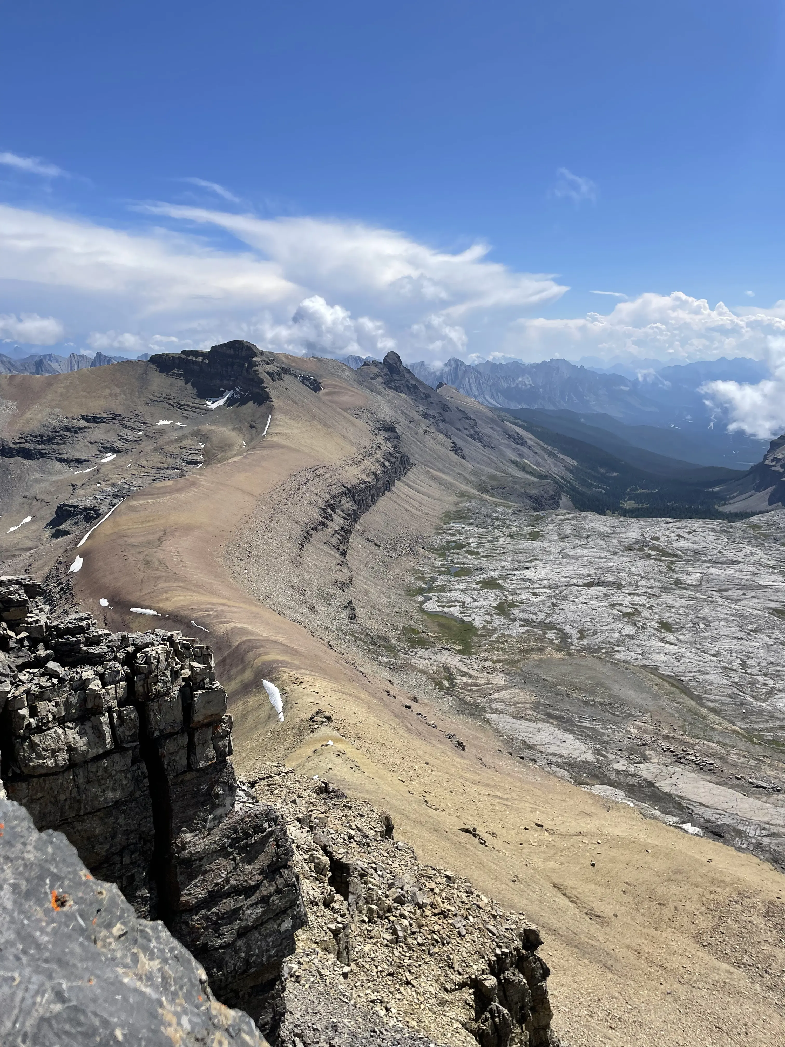
June 29th, 2025: In my opinion, Mount Lougheed is one of the most beautiful mountains in Kananaskis so I was stoked to make it to the summit. However, we probably should’ve went later in the season since there was a lot of snow on the final part of the climb.
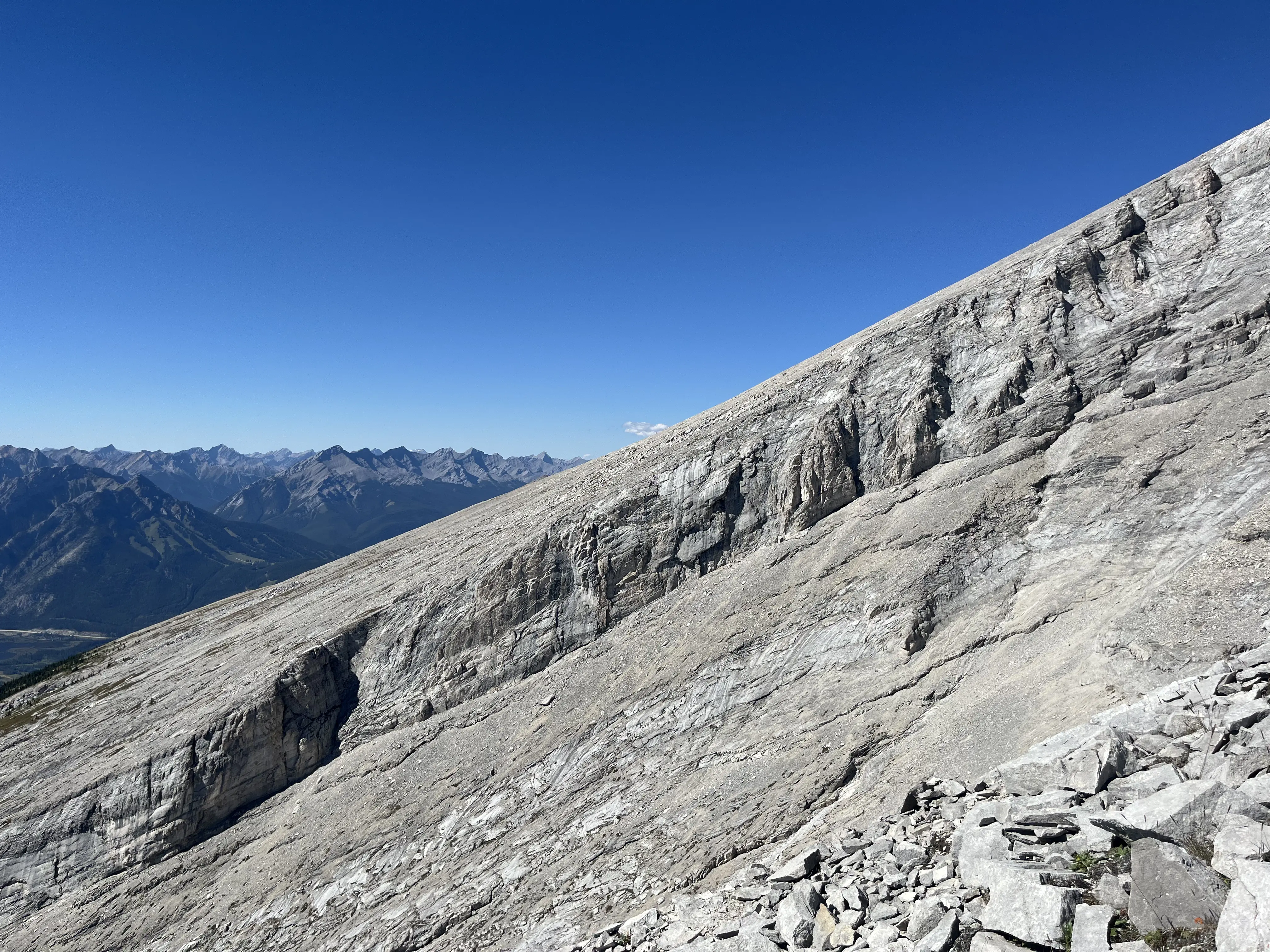
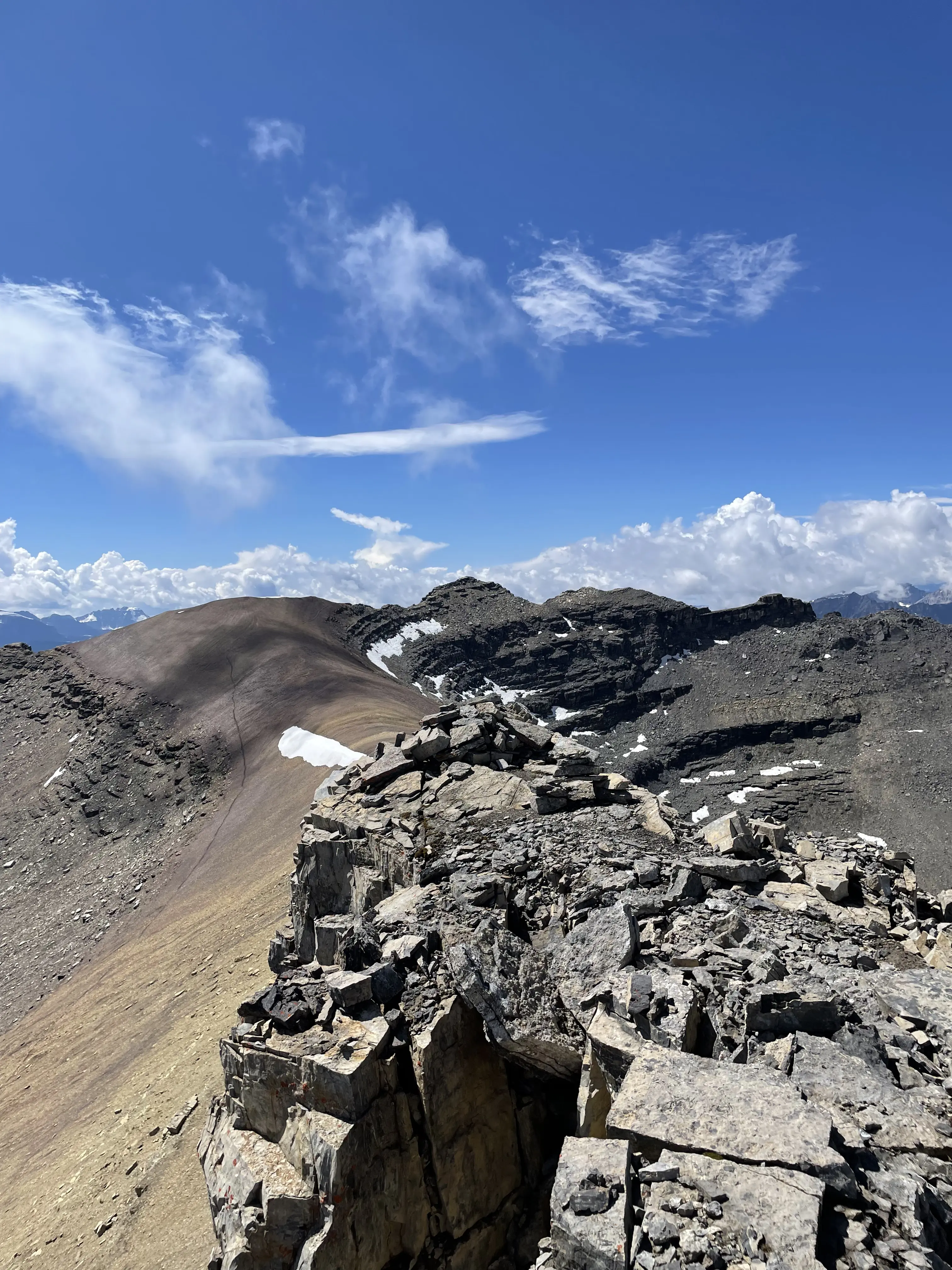
Cascade Mountain
- Length: 18.5km
- Peak Elevation: 2998m
- Elevation Gain: 1689m
July 12th, 2025: Cascade Mountain is a fairly popular hike near the Norquay ski area. We saw a lot of people today, including quite a few tourists who were very unprepared. The trail itself is pretty boring but the views from the top were great!
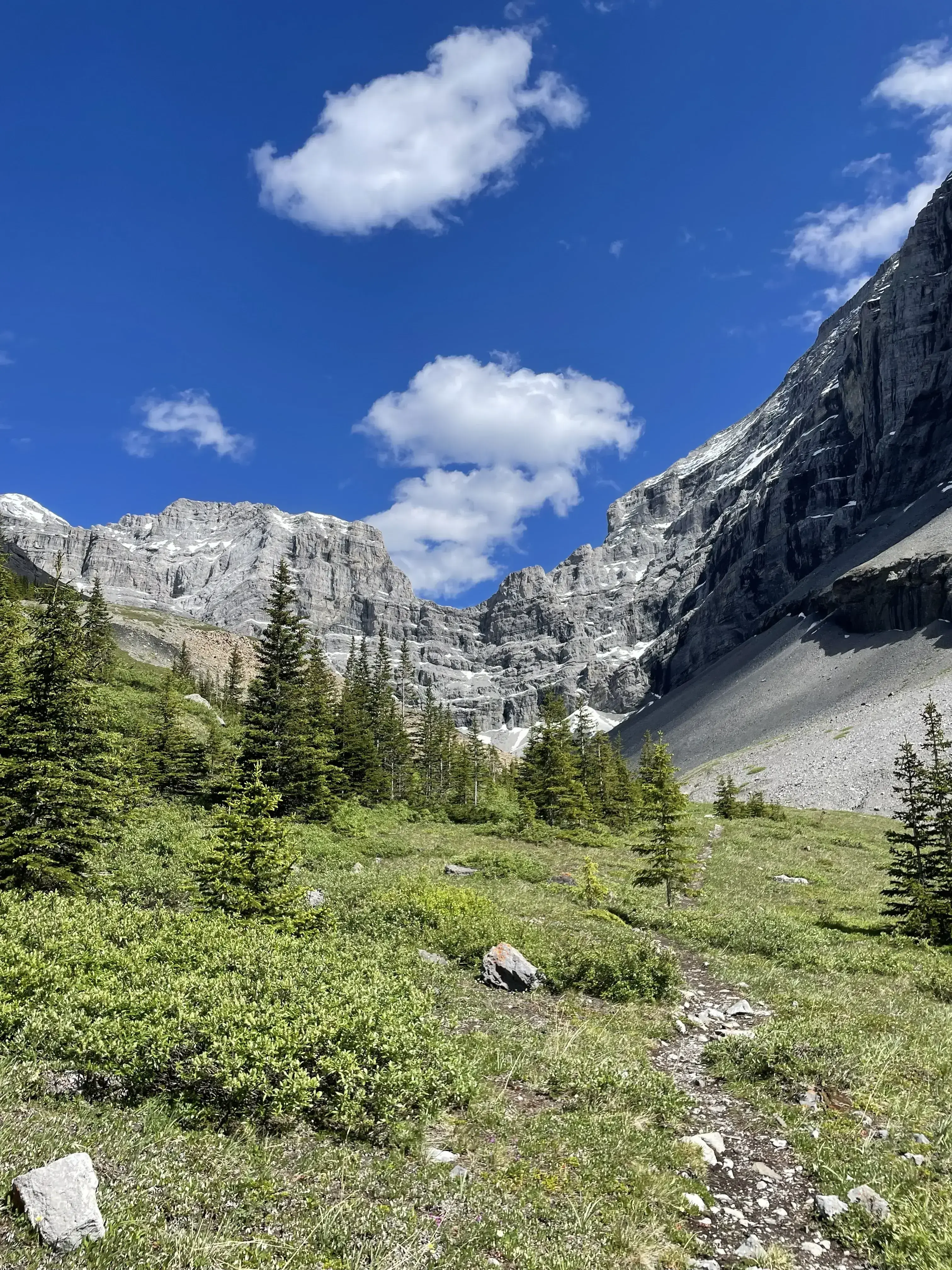
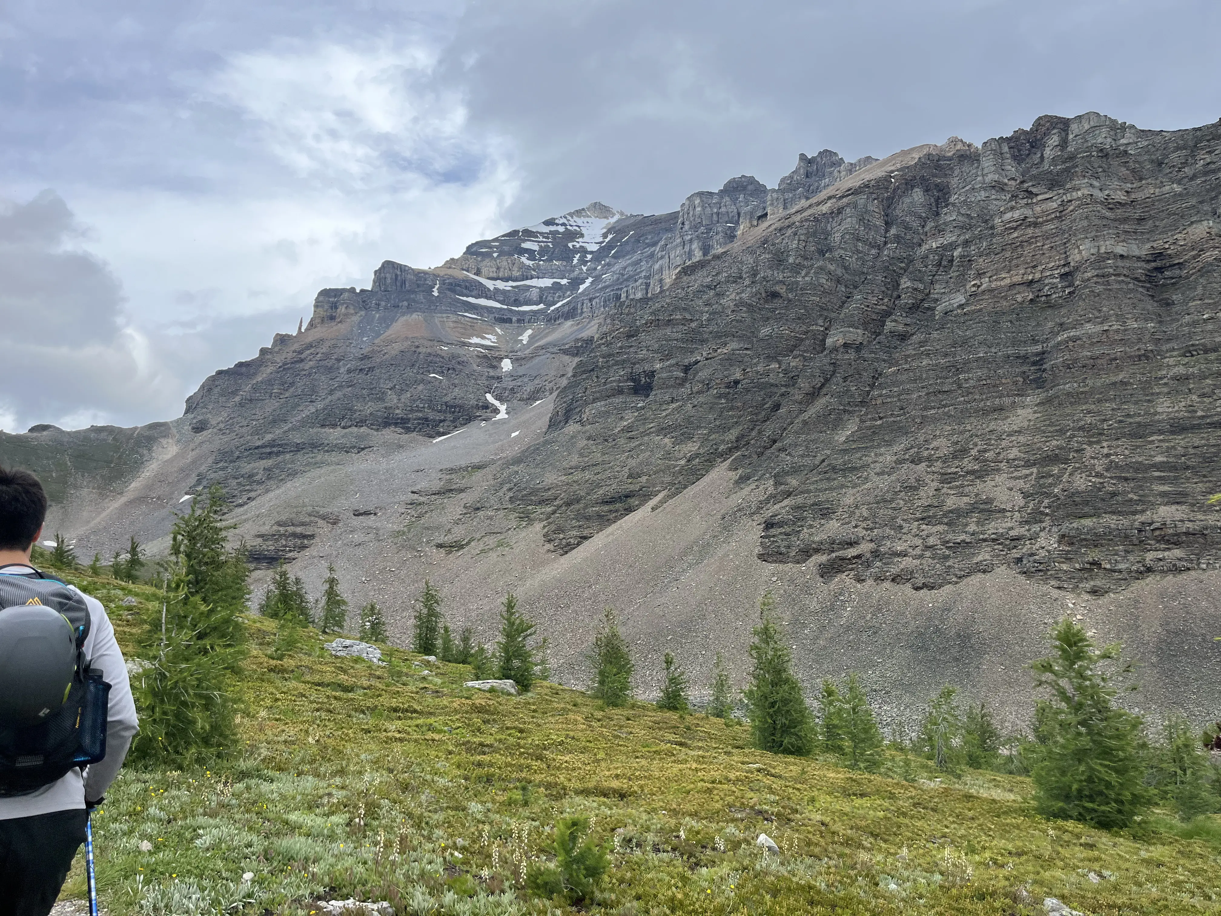
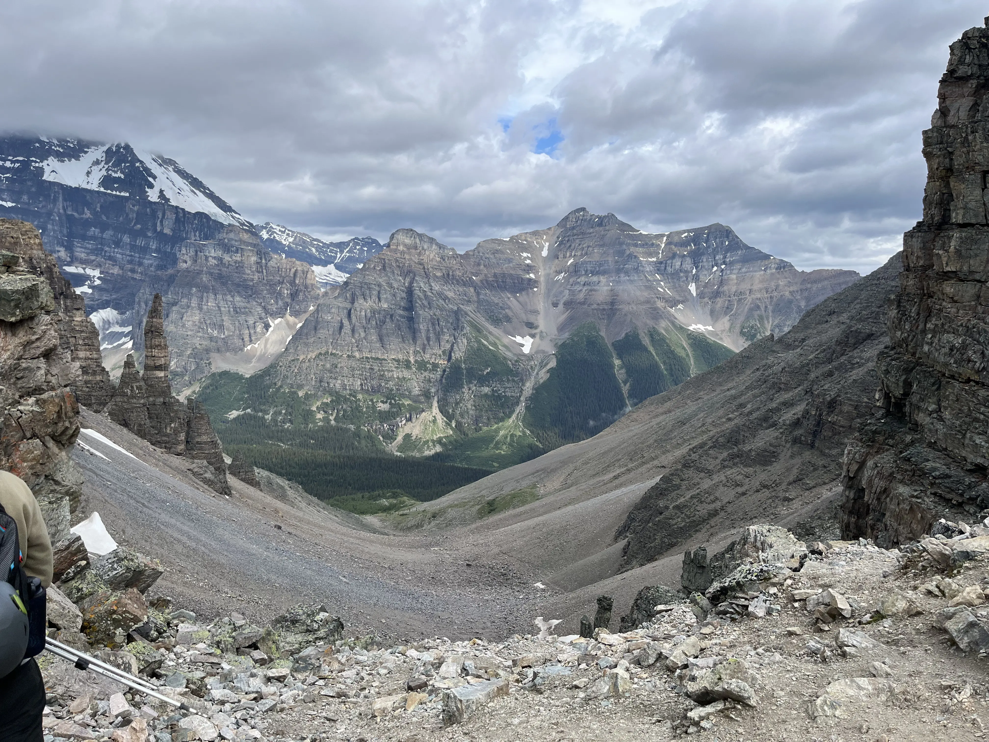
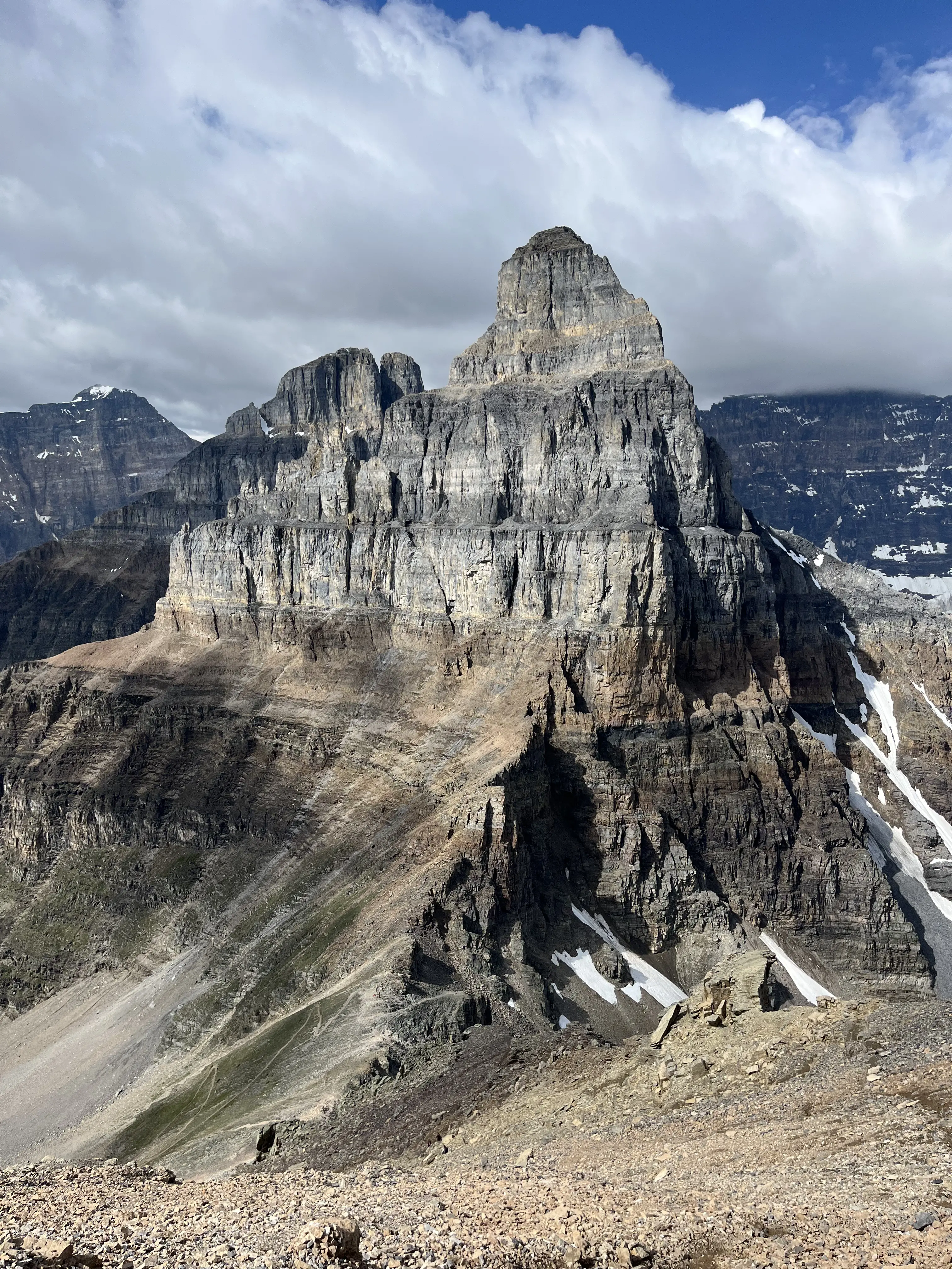
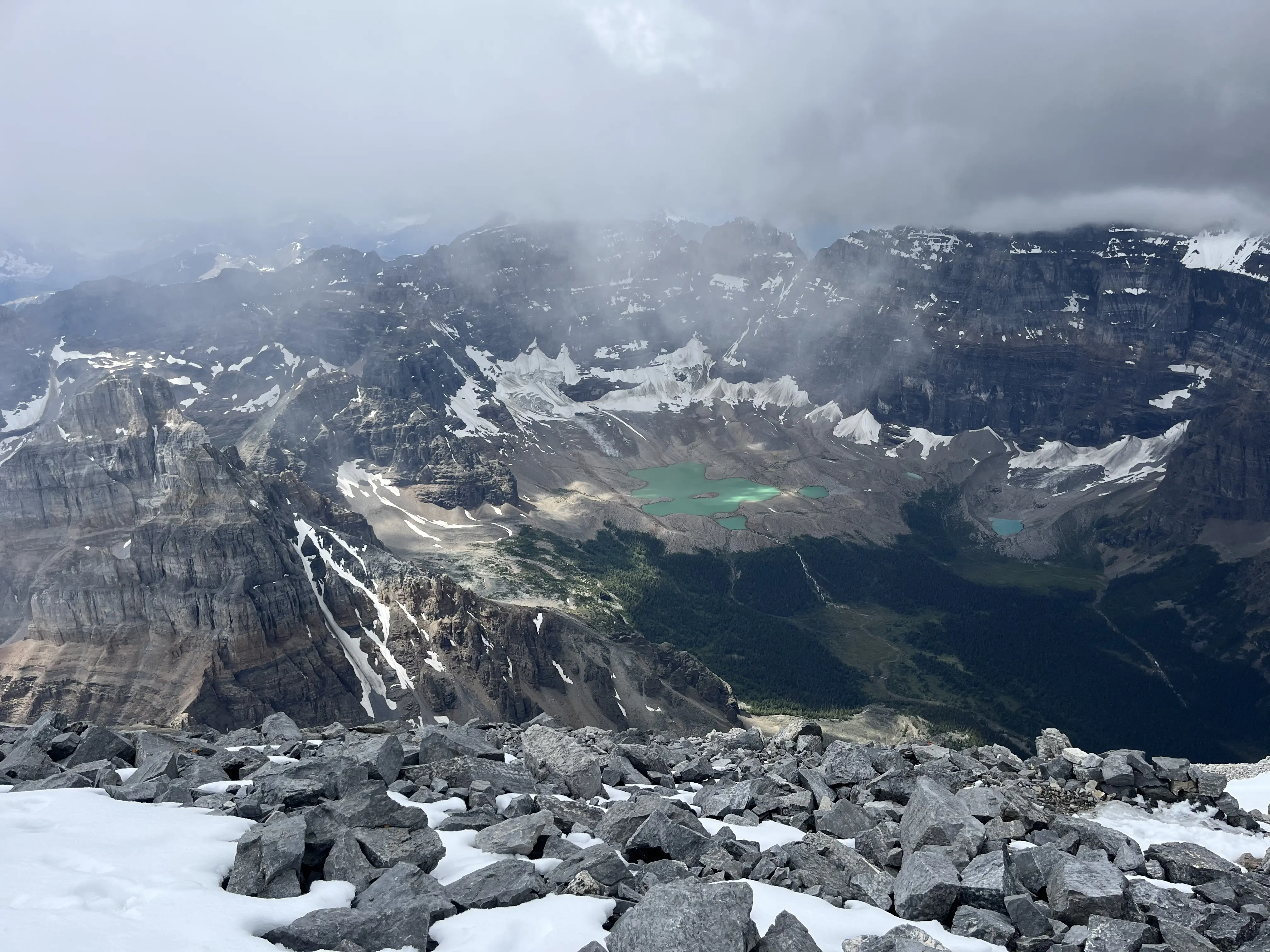
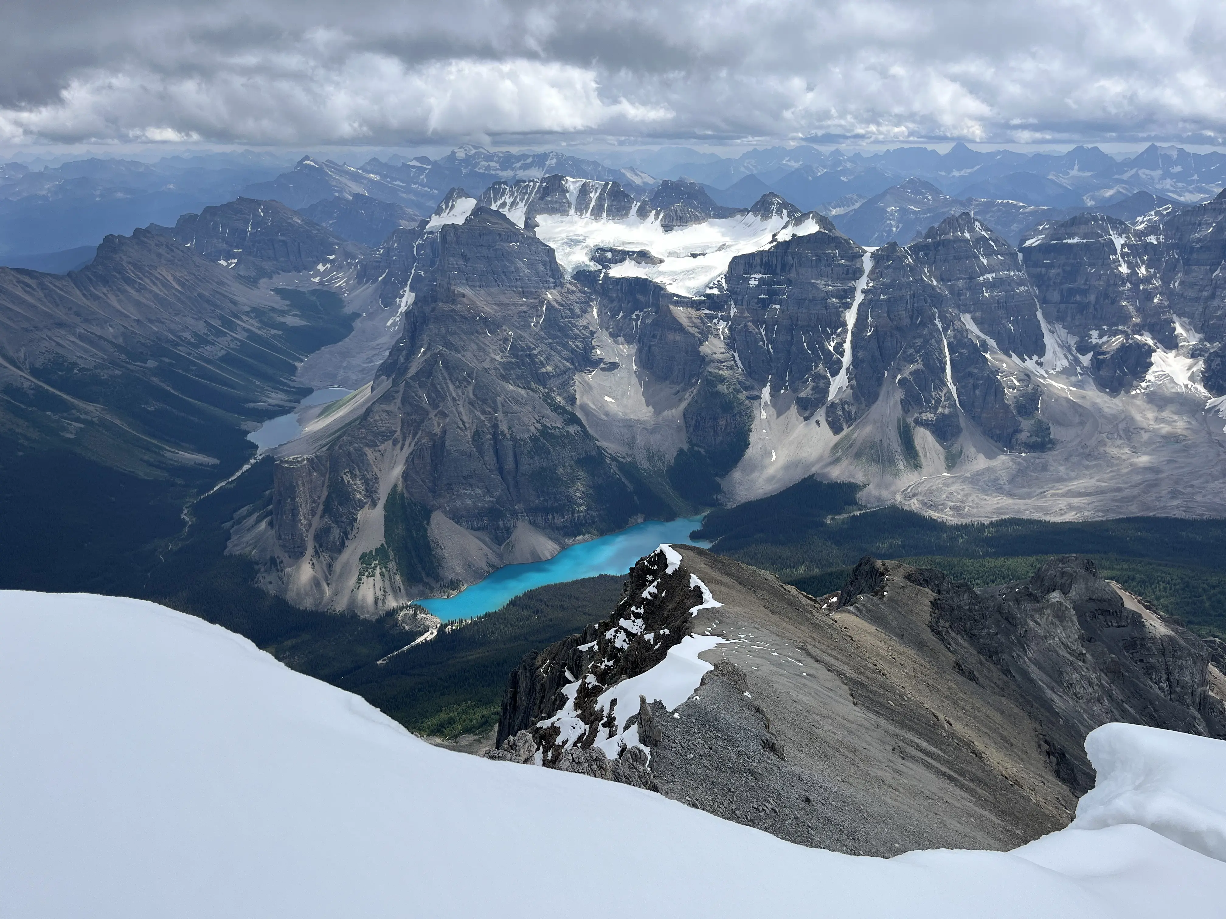
Mount Temple
- Length: 14.3km
- Peak Elevation: 3544m
- Elevatin Gain: 1704m
July 24th, 2025: Mount Temple is one of the tallest mountains in Alberta and one of the few 11,000ft peaks that can be climbed without mountaineering equipment. We were a bit disappointed by how cloudy it was at the top, but the views were still spectacular.
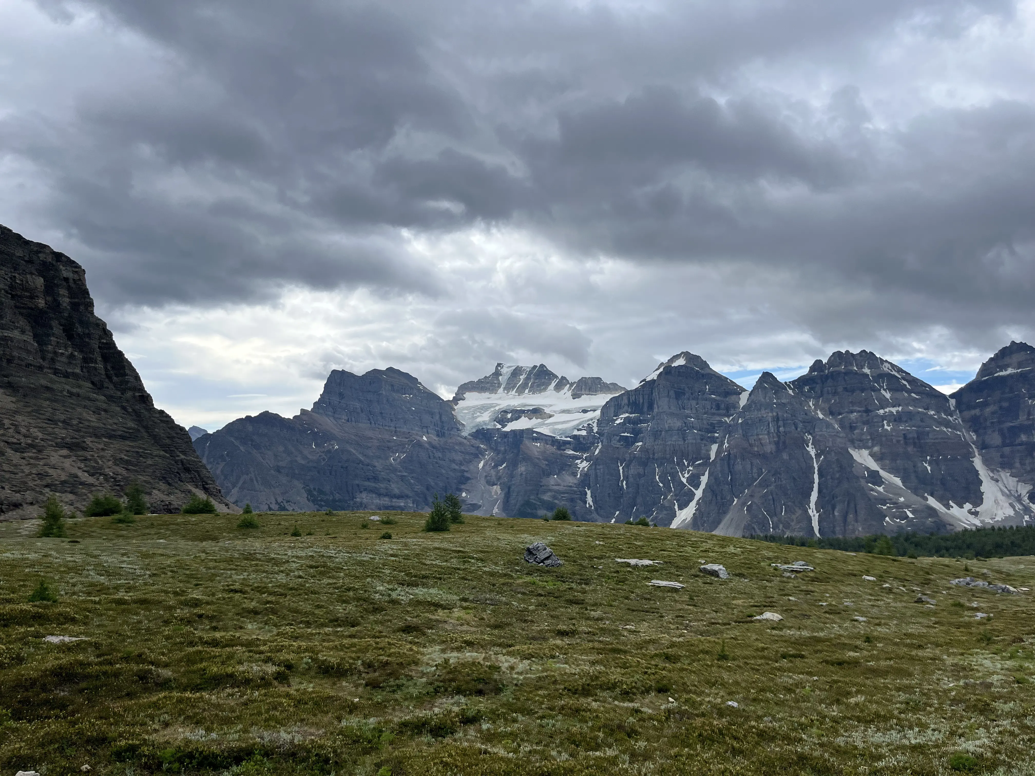
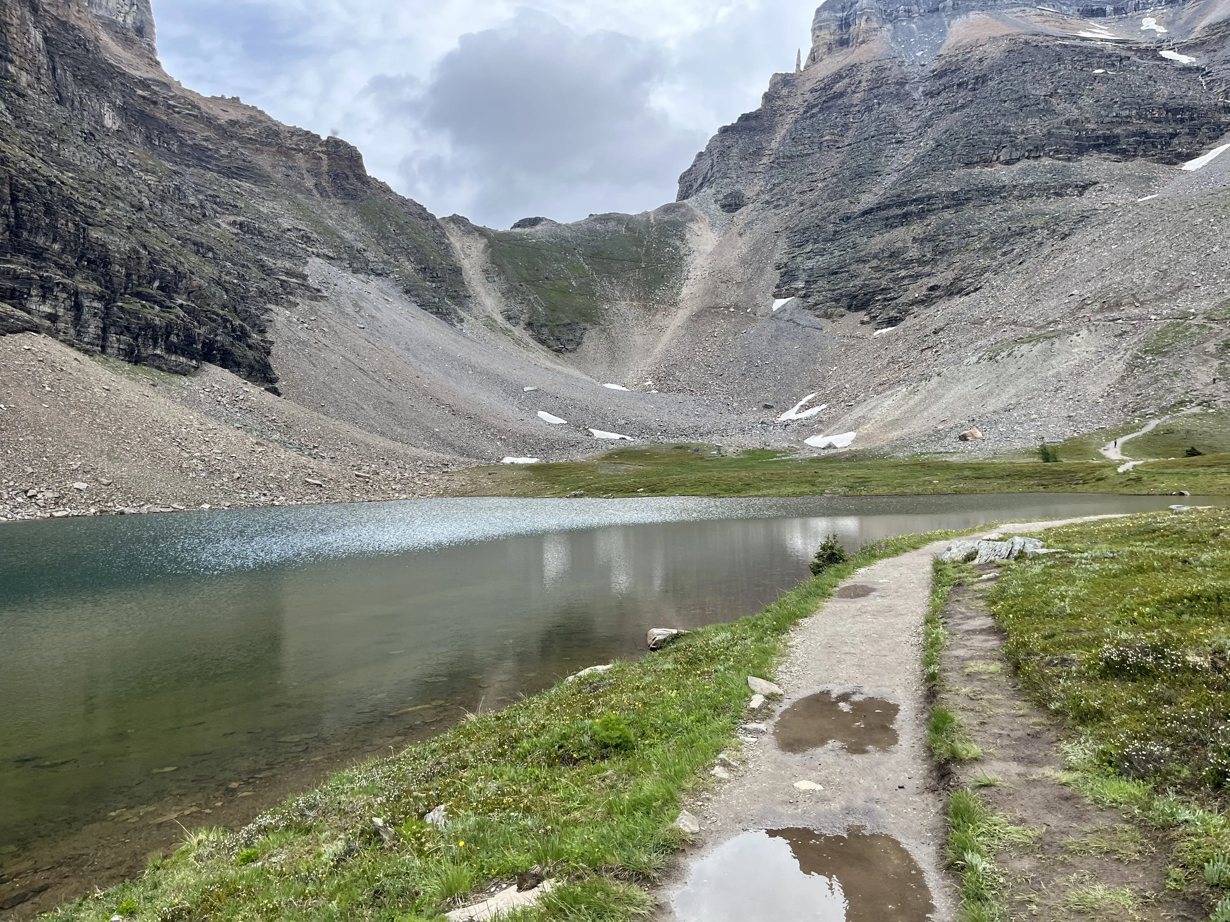
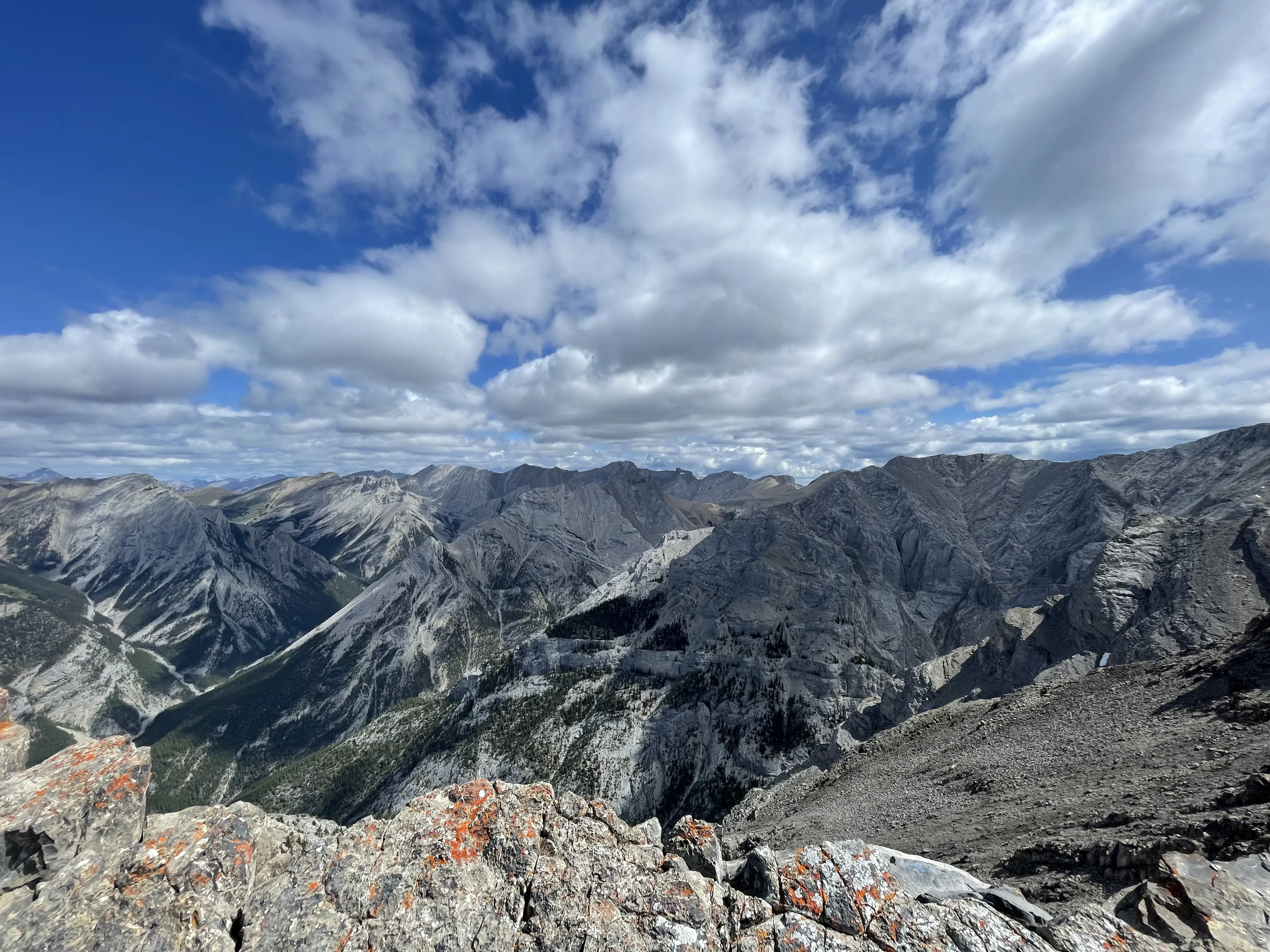
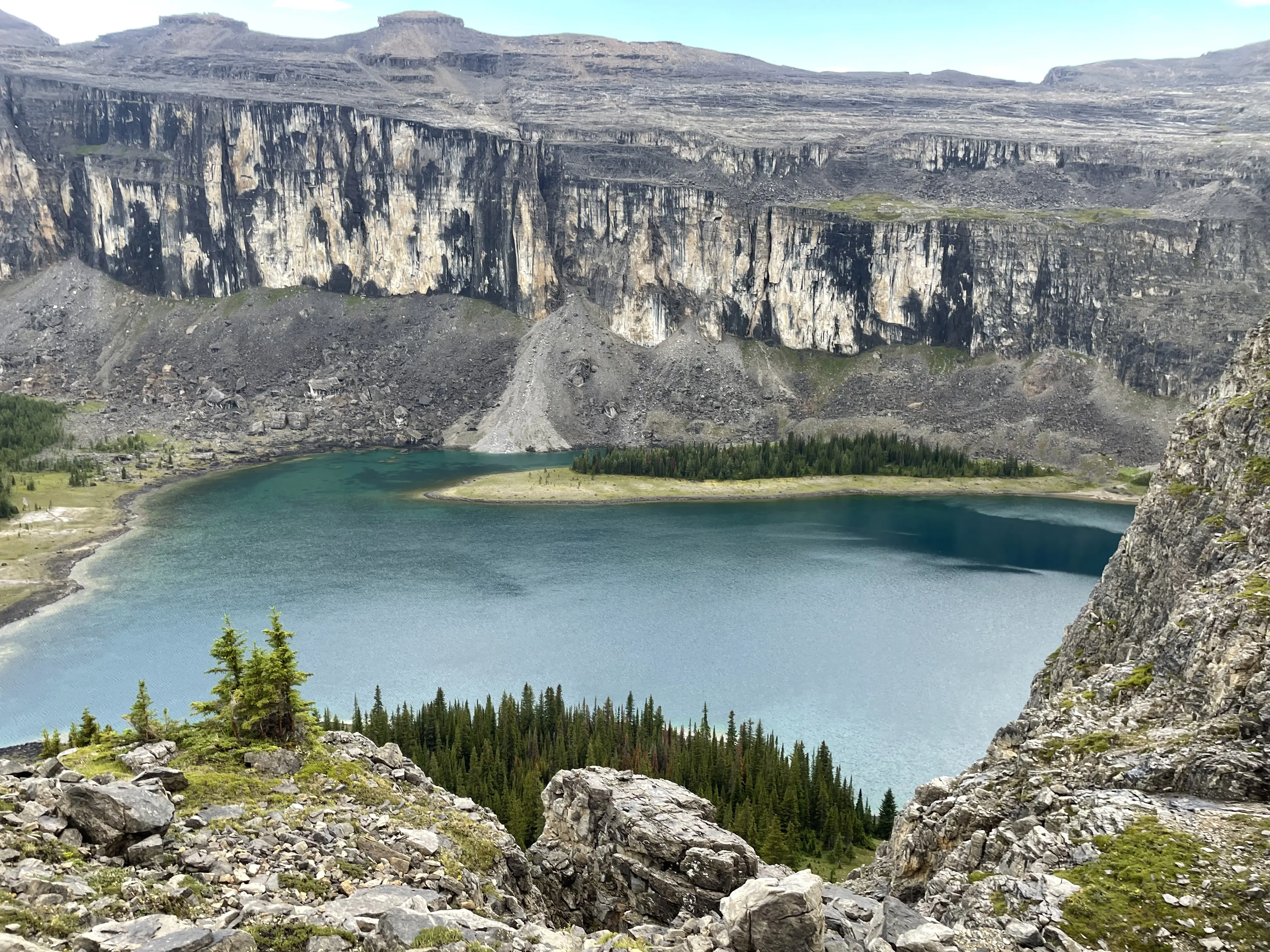
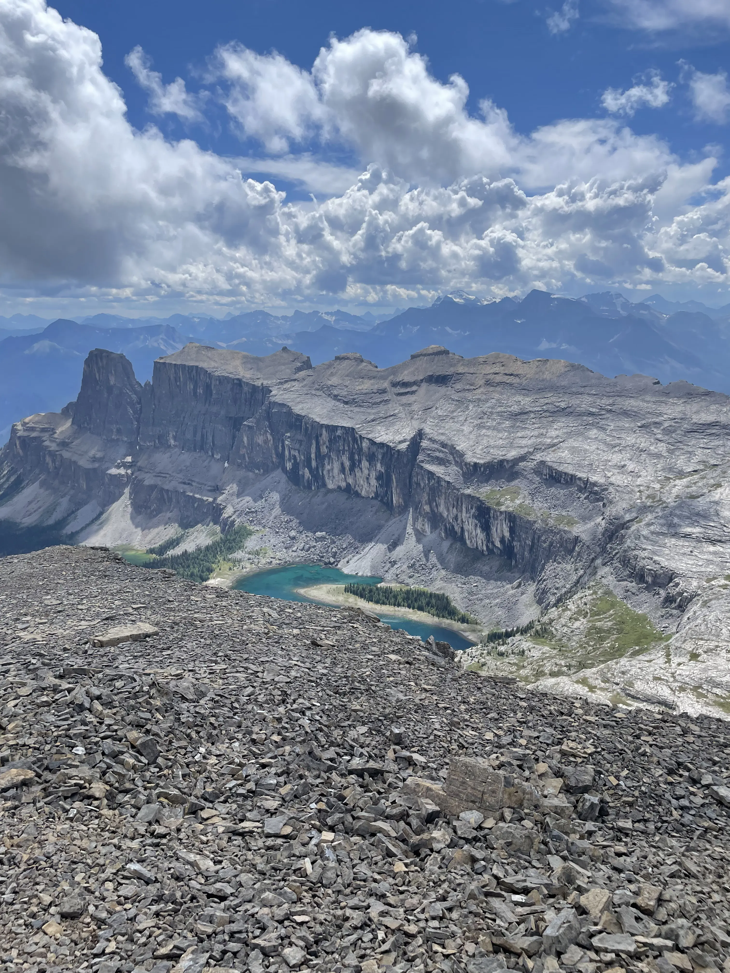
Castle Mountain
- Length: 28.2km
- Peak Elevation: 2766m
- Elevation Gain: 1858m
August 4th, 2025: With its distinctive rectangular shape, Castle Mountain is one of the most iconic peaks in the Canadian rockies. The area around and above Rockbound Lake is absolutely beautiful as well. This was an absolutely amazing day and I can’t recommend this area enough.
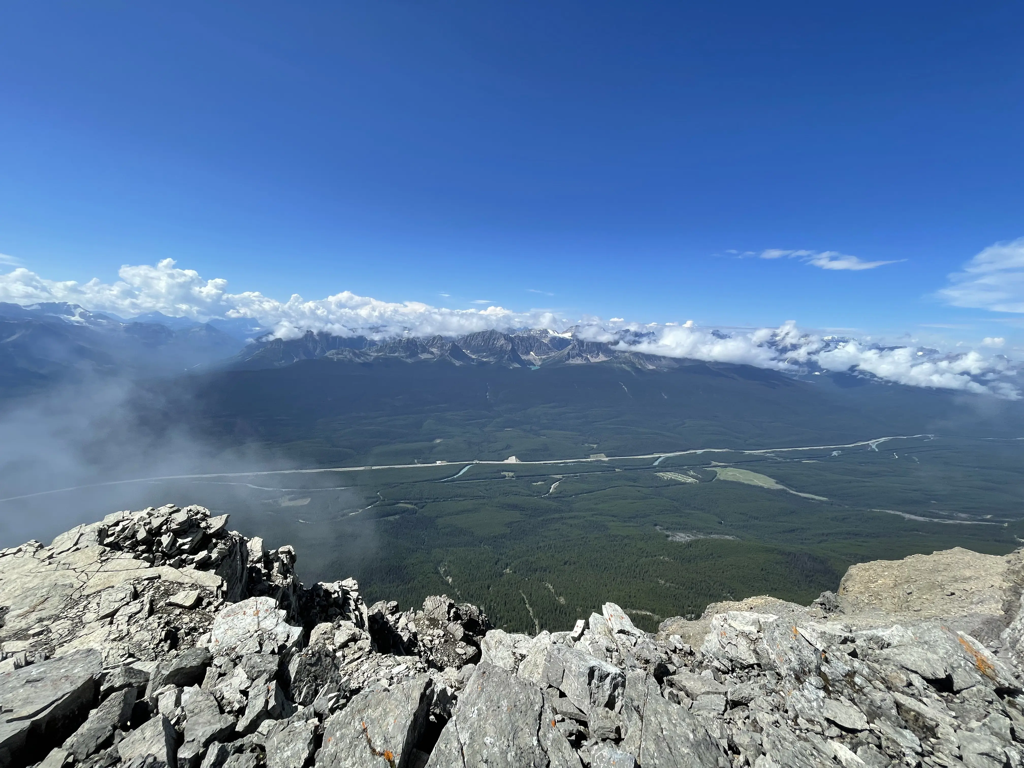
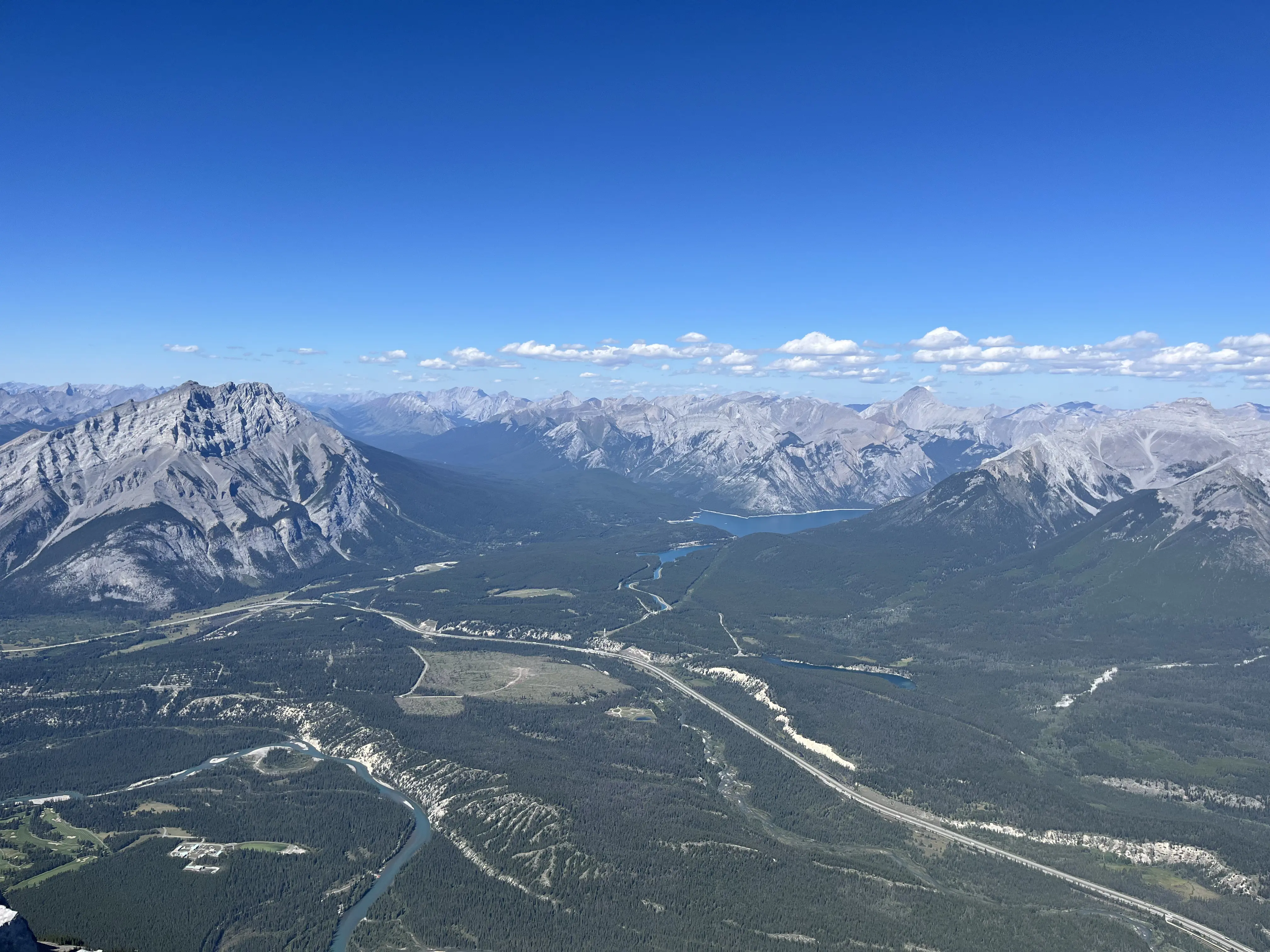
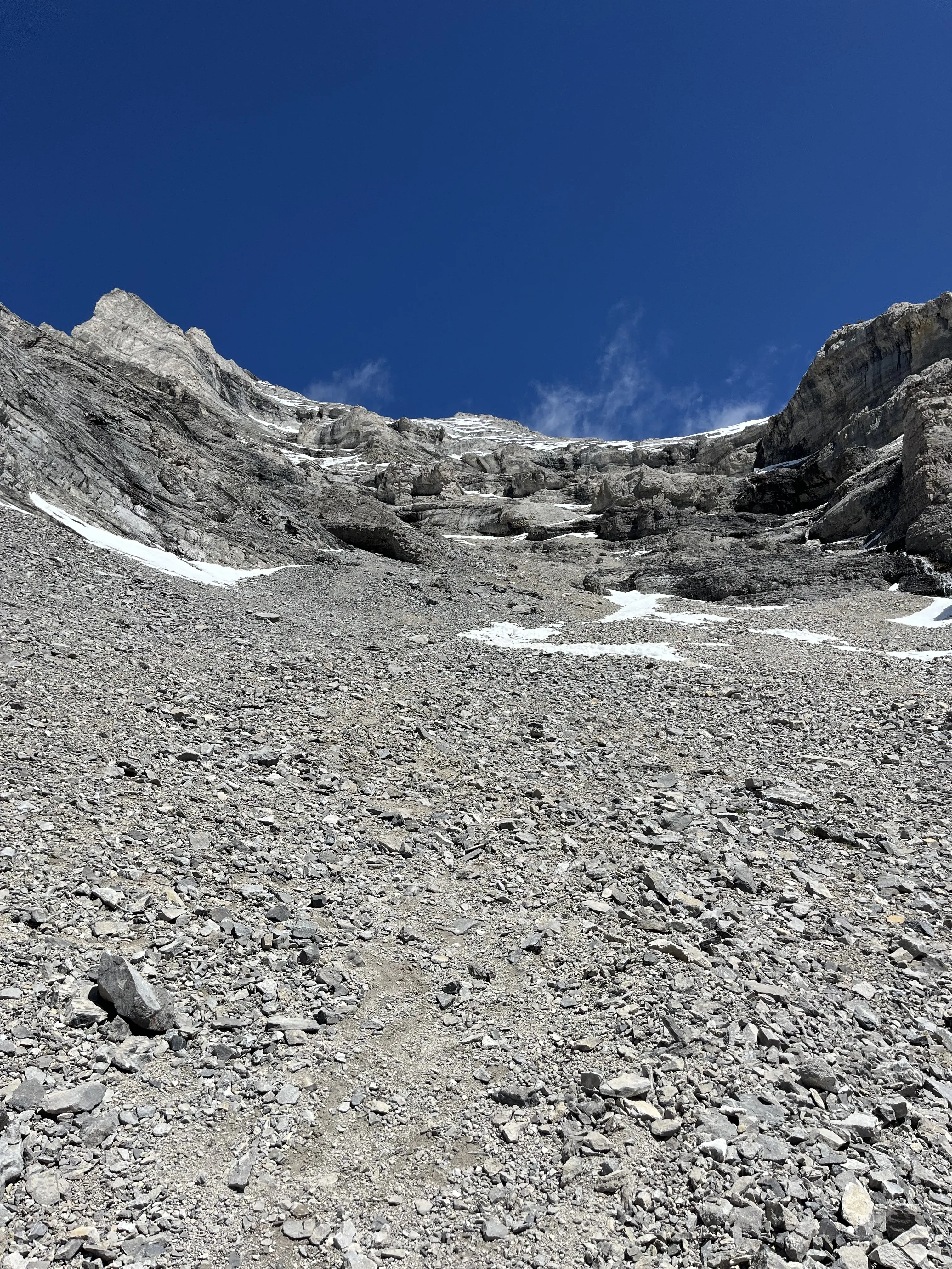
Mount Rundle
- Length: 15.4km
- Peak Elevation: 2948m
- Elevation Gain: 1711m
August 23rd, 2025: Mount Rundle spans almost the entire distance from Canmore to Banff, towering above the Trans-Canada highway. The scree on the last 800m of elevation was brutal, but by this point in the season I was pretty used to it.